Overnight Construction Activity
Sunday, August 16 beginning at 11:00 p.m.
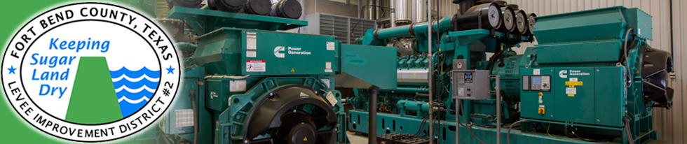
FBCLID 2 Third Pump Station
2602 Oakland Drive
Sugar Land, TX 77479
Please be aware that major construction activity on the FBCLID 2 Third Pump Station will require additional overnight work hours. On Sunday, August 16 at 11:00 p.m. work will begin to pour the foundation for the pump station intake structure. The intake foundation is also 3 feet deep, and the large pour will require 80 truckloads of concrete. The foundation placement is another critical construction activity that requires continuous work until all the concrete is placed. Beginning at 11:00 p.m. on Sunday, August 16 work lights will be turned on and equipment will be staged around the site. On Monday, August 17 at 2:00 a.m. concrete trucks are scheduled to start arriving and are expected to run continuously until 1:00 p.m.
The contractor will stage concrete trucks on Elkins Road, in front of Clements High School, to limit parking on Oakland Drive inside the neighborhood. Please remain aware of construction activity during this time. If possible, limiting street parking on Oakland Drive will provide more room for all drivers.
The main pump station foundation that required over 200 truckloads of concrete was completed on Monday, August 10. The foundation for the intake structure will require the same construction activities but will take less time to complete. FBCLID 2 appreciates your patience, particularly the residents of Austin Meadows, as the District works to complete this critical flood control project.
Additional construction details are available at: www.fbclid2.com/third-pump-station-construction.
Please contact FBCLID 2 directly with any questions or concerns: www.fbclid2.com/contact.