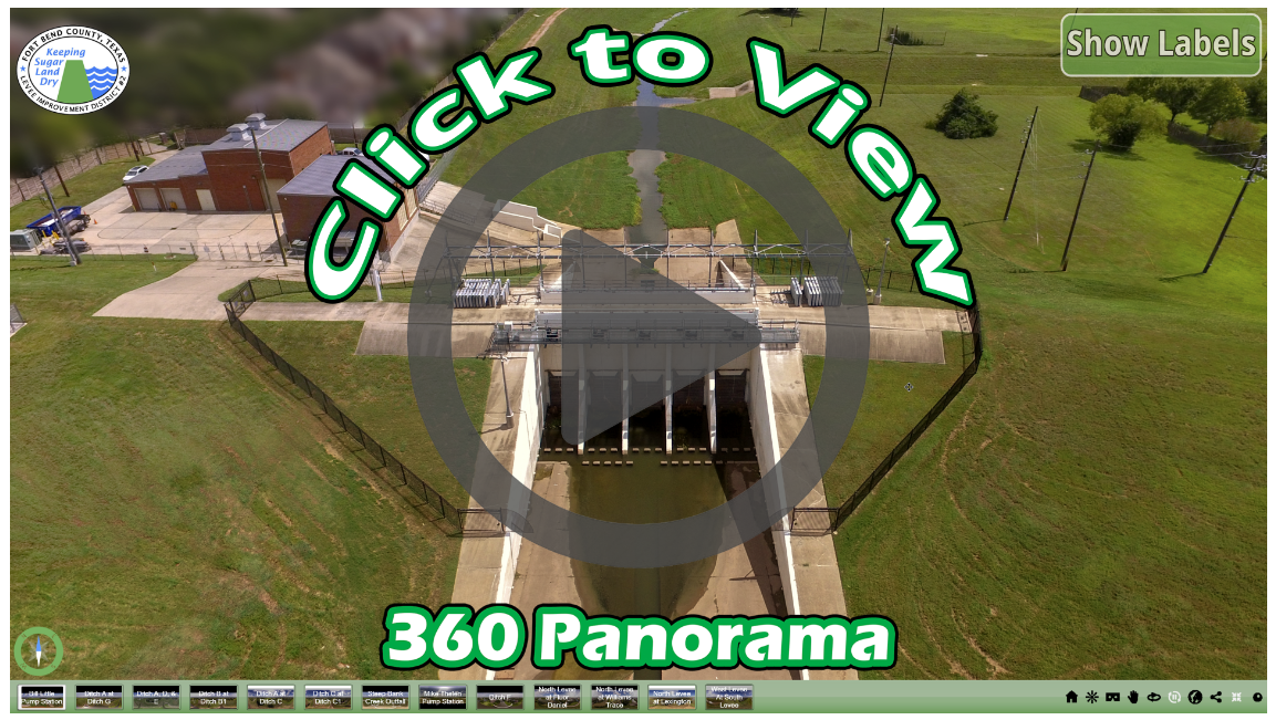
Panoramic Aerial Tour
About the District
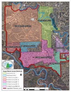
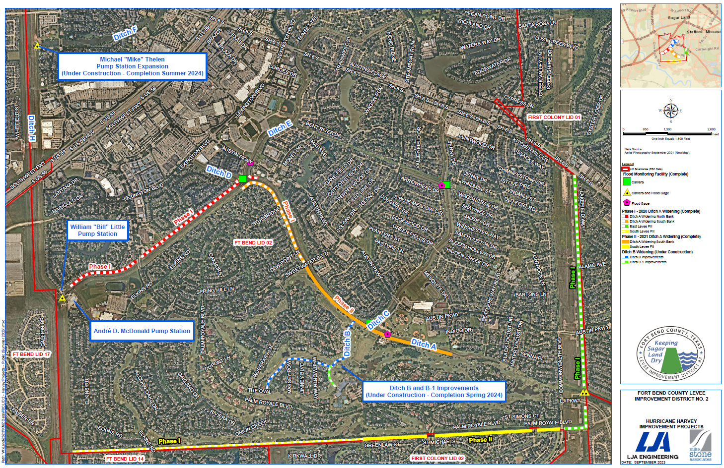
Fort Bend County Levee Improvement District No. 2 (FBCLID 2) is responsible for providing flood protection and storm water management services for major portions of the City of Sugar Land in Fort Bend County, Texas. The District protects more than 5,300 acres of property outlined on the map below. FBCLID 2 operates and maintains 11 miles of levees, 8 miles of drainage ditches and three pump stations.
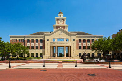
The flood control works constructed and operated by FBCLID 2 protect over 9,000 homes and hundreds of businesses including Sugar Land Town Square and First Colony Mall. The combined value of all property and structures located inside the district exceeds $5 billion in appraised value. Important public infrastructure located inside the District includes the major transportation arteries of U.S. 59 and S.H. 6, multiple hospital complexes, and Sugar Land’s City Hall.
First Colony
First Colony is one of the nation’s premier master-planned communities and has been recognized multiple times for its quality of development and excellence in management. Over 9,000 homes and hundreds of businesses in the Sugar Land portion of First Colony are protected by the FBCLID 2 flood and storm water management system.
Sugar Land, Texas
Sugar Land is one of the premier cities in the State of Texas with a population of over 100,000 residents, sustained growth, and an excellent quality of life. Sugar Land is the largest city in Fort Bend County which has been listed among the top 20 Counties in the United States for more than 15 years in areas of economic excellence and population growth. At 5,300 acres FBCLID 2 accounts for almost 25% of the City’s total size.
Fort Bend County
FBCLID 2 is 1 of 19 levee districts in Fort Bend County. The total amount of property and structures protected by the 99 miles of levees in Fort Bend County exceeds $14 billion. In addition, over 140,000 Fort Bend County residents live behind a levee, accounting for 25% of the total population.
SugarStone Perimeter Levee System
FBCLID 2 joined 6 other levee districts with exposure along the Brazos River in 2007 to create a shared perimeter levee. The perimeter levee project allowed all participants to quickly address FEMA accreditation requirements for protection from a 100 year flood event (1% chance of a flood in a year), while minimizing the individual cost for each district.
.


